Press This Map To Open Door
Equity and Inclusion
Can a crowd-sourced map help upgrade accessibility on campus?

Photo by Jessica Scranton
Published September 25, 2024
What happens when an elevator breaks down, but it’s the only way to access classrooms on an upper floor? Or when doors have features like automatic entry buttons, but they’re not turned on? Where might people encounter potentially triggering sounds or scents on campus?
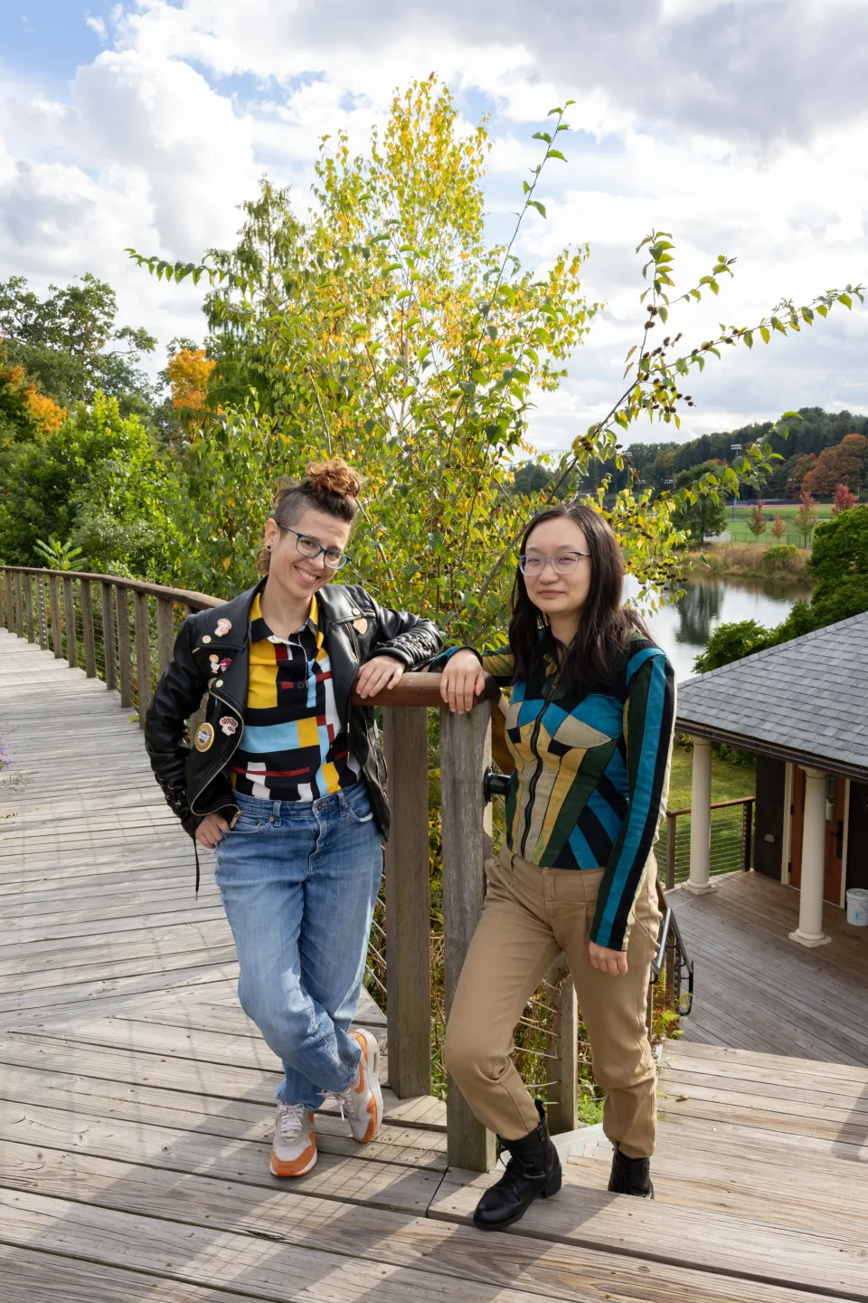
Such questions were on the minds of Shiya Cao, MassMutual Assistant Professor of Statistical and Data Sciences, and Heather Rosenfeld, director of the Spatial Analysis Lab (SAL), when they started a yearlong collaboration to map accessibility across campus through the perspective of the campus community.
That effort is now coming to fruition with an interactive digital map.

Smith College Campus Accessibility map
Rosenfeld and Cao, who came to Smith in 2021 and 2022, respectively, were introduced by SAL’s previous director, Jon Caris. The two researchers, both new on campus, quickly discovered their mutual interests in both accessibility and mapping.
“We immediately were just thinking about the same thing: What are some things we can do together?” Cao says.
When a broken elevator caused them to relocate a class so that all their students could attend, the two researchers were moved to delve more deeply into how such situations might have ongoing effects on the wider campus community.
Rosenfeld and Cao decided to conduct a more comprehensive survey. To determine what categories to include, they scoured their own research, looked at additional literature on accessibility mapping, and asked for input from multiple campus partners—including the Accessibility Resource Center (ARC), campus facilities, and the student group Dis-Organizing. There had been similar, smaller accessibility mapping projects at the college before, but none that included all the elements that these two researchers wanted to capture.
Their data collection effort—which was anonymous throughout—had three components: A map where participants could drop a pin and answer pop-up questions about what accessibility features the point represented; a text questionnaire, with broad questions about accessibility; and a group workshop, where small cohorts would walk around campus and examine accessibility features.
Such an extensive project seemed increasingly valuable. According to the ARC, 39% of Smith students requested accommodations in 2023. Rosenfeld and Cao envisioned a project that would center the accessibility needs of those students while also being applicable more broadly to anyone with temporary or situational disabilities.
“Let’s say you sprained your ankle or you broke something, all of a sudden the potholes are a lot more dangerous to you,” says Rosenfeld. “Or you’re an instructor carrying a ton of things, in which case you might need to know where the working elevators are.”
What this looked like in their survey was this: If you added an elevator pin to the map, questions would pop up to ask whether the elevator was working, broken, or whether there was a multistory building that lacked an elevator altogether. Participants could also add comments, like “It wasn’t broken last week, but it’s broken now.”
“The map, using this participatory approach, was very: What do people say is important?” says Rosenfeld, “Not: Where are all of the buttons to open doors on campus?”

Photos by Jessica Scranton
Using their three-pronged data collection method, the two researchers were able to gather information on a wide variety of features. And to ensure that their data was addressing the needs of as many community members as possible, they went beyond asking about the physical infrastructure and included questions about barriers such as potholes, lighting, fragrances/scents, and sounds.
“Sound might be a really loud space. It might be a space with a certain frequency for some people,” says Rosenfeld. “Usually heavily scented areas are going to be less accessible because people have scent sensitivities or allergies.”
After student researcher Sarah Susnea '25 transformed the results from the text questionnaire to spatial data, Rosenfeld and Cao were left with 227 points for their map.
Four features—elevators, bathrooms, ramps, and doors with buttons to open automatically—appeared to be key for the community. So the researchers asked Mia Schildbach ’26 and Lily Gould ‘26, who had done previous work with ADA accessibility mapping, to revisit campus and map those features more comprehensively.
“A point from a participant that really made me think a lot,” says Cao, “is how sometimes accessibility features are at the back of the building. Yes, it’s accessible, but it’s hiding somewhere.”
As they constructed the map, Cao and Rosenfeld passed the information back to their original campus partners, particularly the easy fixes that could be addressed promptly—like making sure door buttons were turned on.
Knowing the environment can allow people to plan ahead, even before they arrive on campus, and request alternative accommodations, notes ej seibert, Smith’s director of accessibility.
“It makes our campus more of a friendly ‘choose your own adventure’ for everyone, inclusive of ability and disability needs,” says seibert. “Many community members have reported experiences of trying to get somewhere and not realizing the shortest path was the steepest, or having to take a route that is much longer due to a path blockage.”
Having a map that could help avoid those moments, notes seibert, increases a sense of welcome. “As in, yes, we were expecting you, here’s the information you need—you belong.”
Cao notes that the launch of Smith College Campus Accessibility V1 is intended to be a good first step. The hope for the future is that the map will inspire conversations, and ultimately changes, around ongoing campus needs. A future iteration of the map might even include a feature for participants to send additional accessibility update requests to facilities management.
“Personally, I’m hoping this can be really helpful for everyone on campus,” says Cao. “This is [version] 1.0, and maybe we can build on that, step by step.”


